

Tackle conservation issues in your community while developing your geography and data visualization skills.
Submit your application ASAP.
Expect 10 hours per week, all meetings and events are recorded.
This remote Externship starts September 14, 2026.
Students who successfully complete their externships will receive their educational stipends at the end of the program. This stipend is provided to offset internet and technology costs required for program completion.
This Externship is open to young people ages 18-25.
This Externship is open to applicants all around the world.
The National Geographic Society + The Nature Conservancy Community Conservation, Data Visualization, and Mapping Externship is an 8-week, part-time, fully remote experience where you'll tackle pressing conservation issues in your own community and drive positive change using mapping and geographic information systems (GIS) data.
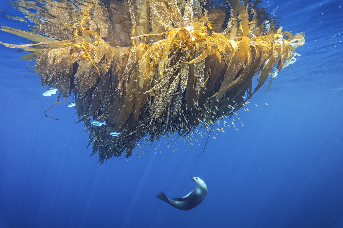
Learning from conservation and GIS experts at the National Geographic Society and The Nature Conservancy, you'll explore key topics such as biodiversity loss, marine issues, and freshwater threats. You'll get hands-on training with Esri mapping and GIS tools, conduct your own location-based data research, and create maps and StoryMaps that make conservation challenges relevant to any community, all while building skills that fuel a purpose-driven career in conservation.
Biodiversity & Conservation Topics
Explore resources and case studies on conservation topics such as biodiversity issues and solutions, and understand the relationship between geography, biodiversity, and community conservation.
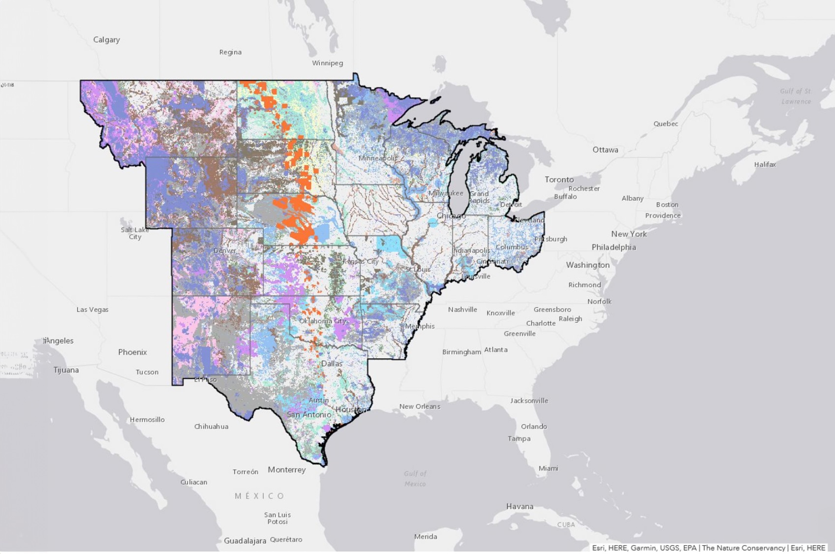
Geographic Information Systems (GIS)
Gain foundational knowledge in GIS, a powerful tool used to create, manage, analyze, and map all types of data for sustainable conservation.
Public Speaking & Presentation Skills
Present your solutions and showcase your ability to communicate complex information effectively and engagingly.
Solution-Finding
Identify conservation solutions that are unique to your own community and the challenges it faces.
Map Creation & Storytelling
Build new maps and Esri StoryMaps that highlight local conservation issues and tell compelling stories, while understanding the ethics and application of maps in conservation.

Tackle real-world problems with two of the most renowned global conservation organizations.
Learn directly from industry leaders and collaborate with peers from across the world.
Build knowledge in conservation, GIS, mapping, research methods, and science communication strategies that future employers and programs value.
Create an Esri StoryMap showcasing your research, data visualization, and storytelling skills.
Gain skills and experiences that stand out in roles across conservation, sustainability, policy, education, and environmental communication.
The National Geographic Society is a global nonprofit organization that uses the power of science, exploration, education, and storytelling to illuminate and protect the wonder of our world. Since 1888, the Society has pushed the boundaries of exploration, investing in bold people and transformative ideas, providing more than 15,000 grants for work across all seven continents, reaching 3 million students each year through education offerings, and engaging audiences worldwide through signature experiences, stories, and content.
The Nature Conservancy is a global environmental nonprofit working to create a world where people and nature can thrive. The Conservancy protects the lands and waters on which all life depends by boldly addressing the biodiversity and climate crises of the next decade. By maximizing our ability to affect change between now and 2030, The Nature Conservancy believes we can shape a brighter future for people and our planet.

Join our 8-week Externship with The National Geographic Society and The Nature Conservancy, and turn your interest in the ocean into real-world solutions.
